What the study found
The study found that STELLA, an end-to-end crater-based navigation pipeline, can support long-duration lunar mapping with metre-level position accuracy and sub-degree attitude accuracy on average. The results were reported across a wide range of viewing angles, illumination conditions, and lunar latitudes.
Why the authors say this matters
The authors conclude that these results provide the first comprehensive assessment of crater-based navigation in a true lunar mapping setting. They also say the findings inform operational conditions that should be considered for future missions.
What the researchers tested
The researchers developed STELLA, which combines a mask R-CNN-based crater detector, a descriptor-less crater identification module, a robust perspective-n-crater pose solver, and a batch orbit determination back-end. They tested it using CRESENT+ and CRESENT-365, including CRESENT-365, a public dataset with 15,283 images rendered from high-resolution digital elevation models with SPICE-derived Sun angles and Moon motion.
What worked and what didn't
STELLA maintained metre-level position accuracy and sub-degree attitude accuracy on average in experiments on CRESENT+ and CRESENT-365. The abstract does not describe specific failure cases or detailed conditions where performance worsened, beyond noting that the tests covered wide ranges of viewing angles, illumination conditions, and lunar latitudes.
What to keep in mind
The abstract does not provide detailed limitations beyond the scope of the tested lunar mapping conditions. It also does not report performance for individual mission scenarios or explain which parts of the pipeline contributed most to the results.
Key points
- STELLA is presented as the first end-to-end crater-based navigation pipeline for long-duration lunar mapping.
- The system combines crater detection, crater identification, pose solving, and orbit determination.
- CRESENT-365 is described as the first public dataset that emulates a year-long lunar mapping mission.
- Across the tested datasets, STELLA averaged metre-level position accuracy and sub-degree attitude accuracy.
- The abstract says the results help identify operational conditions for future missions.
Disclosure
- Research title:
- Crater-based navigation achieved metre-level lunar mapping accuracy
- Authors:
- Sofia McLeod, Chee-Kheng Chng, Matthew Rodda, Tat-Jun Chin
- Institutions:
- South Australian Museum, South Australian Museum, South Australian Museum, South Australian Museum, The University of Adelaide, The University of Adelaide, The University of Adelaide, The University of Adelaide
- Publication date:
- 2026-04-28
- OpenAlex record:
- View
- Image credit:
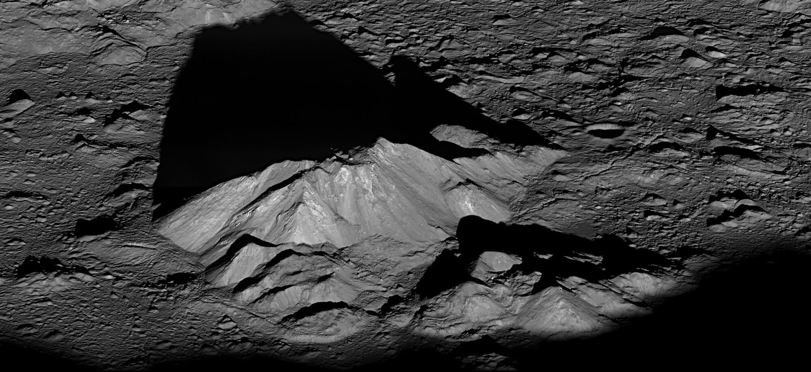
- NASA / GSFC / Arizona State Univ. / Lunar Reconnaissance Orbiter, Wikimedia Commons, Public domain
Get the weekly research newsletter
Stay current with scholarly research without reading academic papers — one filtered digest, every Friday.