What the study found
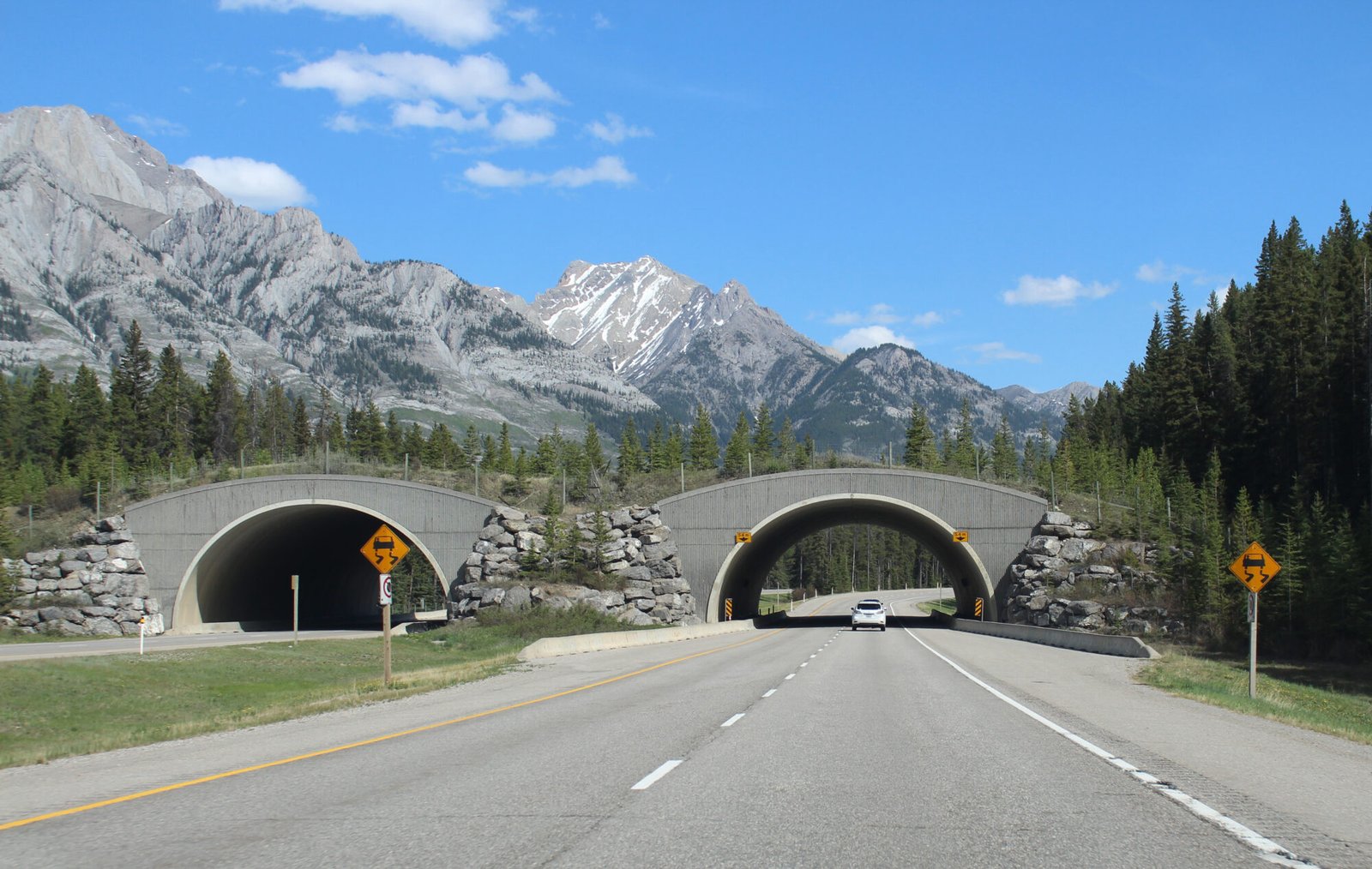
The study found that a multi-species framework could identify and rank road segments for wildlife crossing structures across a national road network. It identified 167 high-priority locations in Israel and found that the existing wildlife overpasses there did not match those locations.
Why the authors say this matters
The authors conclude that wildlife crossing structures are costly, so placing them at the most effective sites is important. They suggest this methodology may improve decisions about road mitigation by combining expert-based inferences with data-based insights.
What the researchers tested
The researchers developed a national-scale, multi-species prioritization method and demonstrated it for 20 focal species in Israel across 6,992 km of roads. They modeled habitat suitability, mapped core habitats, calculated resistance surfaces, identified movement corridors with a least-cost method, and ranked 100 m road segments using corridor priority, movement cost, and road orientation.
What worked and what didn't
The corridor mapping and prioritization approach identified suitable road segments for wildlife crossing structures. A sensitivity analysis found the method was robust to most parameters, except for minimal core width, and 68.2% of the potential crossing locations overlapped with corridors mapped from expert opinion. However, all existing wildlife overpasses in Israel were reported as not aligning with the high-priority locations.
What to keep in mind
The abstract describes a national-scale demonstration in Israel, so the scope is limited to that setting and the 20 focal species used. It also notes that the method is robust to most parameters except minimal core width, but does not provide further limitations in the available summary.
Key points
- A multi-species method was developed to rank wildlife crossing structure locations at a national scale.
- The demonstration covered 20 focal species and 6,992 km of roads in Israel.
- The study identified 167 high-priority wildlife crossing structure locations.
- Existing wildlife overpasses in Israel did not align with the high-priority locations identified.
- Most parameters in the sensitivity analysis did not strongly affect the method, except minimal core width.
Disclosure
- Research title:
- Prioritized road segments for wildlife crossing structures were identified
- Authors:
- Dror Denneboom, Assaf Shwartz, Avi Bar‐Massada
- Institutions:
- Technion – Israel Institute of Technology, Technion – Israel Institute of Technology, University of Haifa
- Publication date:
- 2026-02-27
- OpenAlex record:
- View
- Image credit:
- Coolcaesar, Wikimedia Commons, CC BY-SA 4.0
Get the weekly research newsletter
Stay current with scholarly research without reading academic papers — one filtered digest, every Friday.